

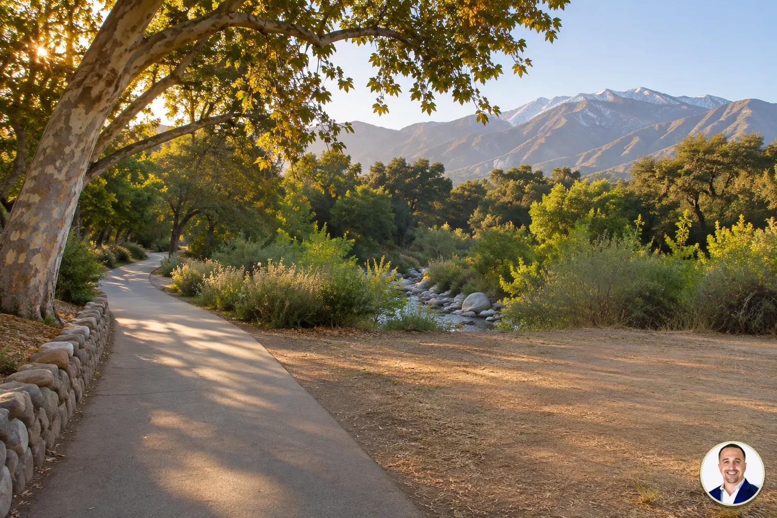
Yes, from many homes on Pasadena's west side you can walk or bike to the Arroyo Seco trails. I'm Justin Borges, and I help Pasadena and San Gabriel Valley buyers compare homes with the routes they want to use. Map the route from the address and walk it: the street you choose makes a real difference.
Which Pasadena homes should I look at for trail access?
Start with homes near Brookside Park, the Rose Bowl loop and the Lower Arroyo, then look at streets in the foothills where the actual route connects with the Arroyo. Start with the entrance you want to use. In the Lower Arroyo, the city guide identifies the main entrance off South Arroyo Boulevard and a trail at California Boulevard and Arroyo Boulevard leading to Memorial Grove.
The City of Pasadena's Arroyo Seco page, checked 2026-11-11, describes the area as a stream and canyon through western Pasadena, with Hahamongna Watershed Park, the Central Arroyo and the Lower Arroyo as its park areas. I would choose the park area you would actually use, then work outward from its entrance.
Ready to move forward? Let's talk.
How do the Arroyo areas compare for a buyer?
| Area to explore | What to look for | What to test from a home |
|---|---|---|
| Central Arroyo and Brookside | Park setting, Rose Bowl loop and access toward the canyon | Crossings, road traffic and the route to your preferred part of the loop |
| Lower Arroyo | Natural area south of the Colorado Street Bridge | Route down to an entrance and the climb home |
| Hahamongna and foothill streets | Park and trail access north of Devil's Gate Dam | Street grade, pavement and a usable connection to the park |
The city's Explore the Arroyo Seco guide, checked 2026-11-11, places the Rose Bowl and Brookside Park in the Central Arroyo, the Lower Arroyo south of the Colorado Street Bridge, and Hahamongna north of Devil's Gate Dam. The guide is older, so check current signs and conditions before relying on a particular route.
If you are weighing a home near the canyon against another Pasadena location, call me at (323) 673-2597 and we can talk through the routes you want to try. Compare the approach to the park you would use most often.
Ready to move forward? Let's talk.
Where do I start a walk into the Arroyo?
For the Lower Arroyo, the city guide identifies the main entrance off South Arroyo Boulevard. It also says the trail at California Boulevard and Arroyo Boulevard leads to Memorial Grove. In the Central Arroyo, the guide names the John Crowley and Tad Williams trails; at Hahamongna it identifies the Flint Wash Bridge loop. Use these named destinations to compare the approaches from homes on your shortlist.
When we tour, I like to identify the entrance the buyer would use most often and trace the entire route to it. Look for the actual place to cross a street, whether a sidewalk continues where you expect it to, and whether the approach is comfortable with a stroller, a dog or whatever you normally bring. On the return, notice whether the grade feels different after a walk. A direct-looking route can feel less convenient when the way home is uphill.
For help comparing the routes from different addresses, text me. The climb home deserves as much attention as the walk down.
Ready to move forward? Let's talk.
Can I ride a bike on the trails and Rose Bowl loop?
The city's current Arroyo Seco page, checked 2026-11-11, welcomes cyclists on paved roads throughout the Arroyo as signs indicate. It also says bicyclists can use the Hahamongna basin loop across the Flint Wash Bridge. The older 2010 city trail guide barred bicycles from unpaved Arroyo trails, so follow posted signs on each trail and check the city's current guidance before riding.
The Rose Bowl loop offers a different experience from a dirt trail. The city guide describes a paved recreation loop around the stadium and golf course that is also a public road open to vehicles. Its guidance for the designated pedestrian lane is to walk counterclockwise. Notice the space available, the points where you must cross, and how comfortable you are sharing the setting with other users and vehicles. The route from your home to the loop matters just as much as the loop itself.
If cycling is the main reason for the move, call me at (323) 673-2597 and tell me what kind of ride you want to make part of your routine. The loop is also a public road open to vehicles.
Ready to move forward? Let's talk.
What should I notice on the walk or ride from a listing?
Begin at the front door, not at the park boundary. Follow the route you would realistically take, including the first crossing and any bridge or change in elevation. On a map, a bridge can look like a convenient connection; in person, check where its pedestrian space begins, how you reach it and whether the approach works for your comfort level. If you ride, look for places where you would need to slow down, dismount or change your route.
Then turn around. A gentle descent toward the Arroyo can feel different on the way home, particularly if you are carrying groceries or walking with children. Look at the pavement, visibility at driveways and intersections, and places where a sidewalk narrows or ends. Notice where the approach to your chosen Arroyo entrance changes grade.
Try the trip on a weekday and a weekend at the time you expect to use it. For event information, see the city District 6 newsletter, checked 2026-11-11. To compare a particular route, text me. I would pay particular attention to crossings and the return grade.
Ready to move forward? Let's talk.
How should trail access influence my home choice?
Give the route a place on your list alongside the home itself. I ask buyers whether they want a spontaneous walk from the door, a paved ride, or a quieter destination they are happy to reach by car. Those preferences can lead to different choices even when both homes appear close to the Arroyo. Save the map for each listing and note the entrance, the surface, crossings and the return grade after your visit.
Match the outing to the place: the paved Rose Bowl loop circles the stadium and golf course, while the Lower Arroyo entrance off South Arroyo Boulevard leads toward a natural area south of the Colorado Street Bridge. At the house, look for a convenient place to store a bicycle or walking gear.
If a foothill setting appeals to you, compare the street and the home together. For a broader introduction, read our moving to Pasadena guide. You can also browse Pasadena homes and bring a few addresses to our conversation. To discuss the tradeoffs, call me at (323) 673-2597. I would give the better everyday route real weight when comparing homes.
Ready to move forward? Let's talk.
What should I check before making an offer?
Return to the property with your preferred route in mind. Walk to the entrance and back, and, if a bike is part of your plan, test the paved approach by bike when practical. Check current park information and event notices instead of assuming the route will always operate exactly as it did during your visit. The city parks page, checked 2026-11-11, says Arroyo trails are open from sunrise to sunset.
Take notes on what you saw rather than relying on a listing's proximity language: the crossing you used, the steep portion, the place you would lock or store a bike, and whether the return trip fits your household. If you are considering changes to a hillside property, ask Pasadena Planning about the specific parcel before treating a future addition as part of your plan. For ideas beyond the Arroyo, explore hikes near Pasadena. If you have a shortlist, text me and we can work through the details together. I would test the complete route before making an offer.
Ready to move forward? Let's talk.
Questions buyers ask about Arroyo Seco access
Can I bike on Arroyo Seco dirt trails?
The City of Pasadena welcomes cyclists on paved roads throughout the Arroyo, as park signs indicate. Its current page also lists the Hahamongna basin loop across the Flint Wash Bridge as open to bicyclists. The older 2010 trail guide barred bicycles from unpaved trails, so follow posted signs on each trail.
Is the Rose Bowl Loop a trail or a road?
The city describes the paved recreation loop around the stadium and golf course as a public road open to vehicles. Look at the designated space and crossings before deciding whether it fits your walk or ride.
Where can I enter the Lower Arroyo?
The city trail guide identifies the main entrance off South Arroyo Boulevard and a trail at California Boulevard and Arroyo Boulevard leading to Memorial Grove.
For help mapping a route from a home you like, call me at (323) 673-2597.
Are Arroyo Seco trails open all day?
The city says Arroyo Seco trails are open from sunrise to sunset. Plan your outing within those hours.
Should I test a route on a weekend?
Yes. I suggest walking or riding your proposed route on a weekday and a weekend so you can compare crossings, activity and the return trip under different conditions.
Does a home near the Arroyo guarantee easy access?
No. The practical route depends on the particular street, grade, crossings and access point. Map it from the address and experience it before deciding how much weight to give the location.
Ready to move forward? Let's talk.
Sources
- City of Pasadena, Welcome to the Arroyo Seco, checked 2026-11-11
- City of Pasadena, Explore the Arroyo Seco trail guide, checked 2026-11-11
- City of Pasadena, District 6 newsletter, checked 2026-11-11
Ready to compare a route from a specific home? text me and we can take a closer look. Bring the address and your preferred entrance to our conversation.

Justin Borges
Team Lead, The Borges Real Estate TeamDRE #01940318
With over 13 years in Southern California real estate, Justin specializes in probate sales, trust properties, and character homes. His expertise in 1031 exchanges and historic preservation has helped hundreds of clients navigate complex real estate transactions.